August 13-15 - Wrangell St. Elias National Park - the largest national park!
Alaska in August has been rainy with limited sunshine. Susan was able to get an extra day off (I've been working 4 days on, 3 days off for a month), so we chose to take the 6 hour drive to the largest national park in the United States - Wrangell-St. Elias in the southeastern corner of Alaska. Our 3 days off turned out to be spectacular, with lots of sunshine! We did a flightseeing tour of glaciers in the Chugach Mountains. The Wrangell Mountains were socked in, so Chugach was a great alternative.

Snowmachine with a steering wheel. Snow toboggan!


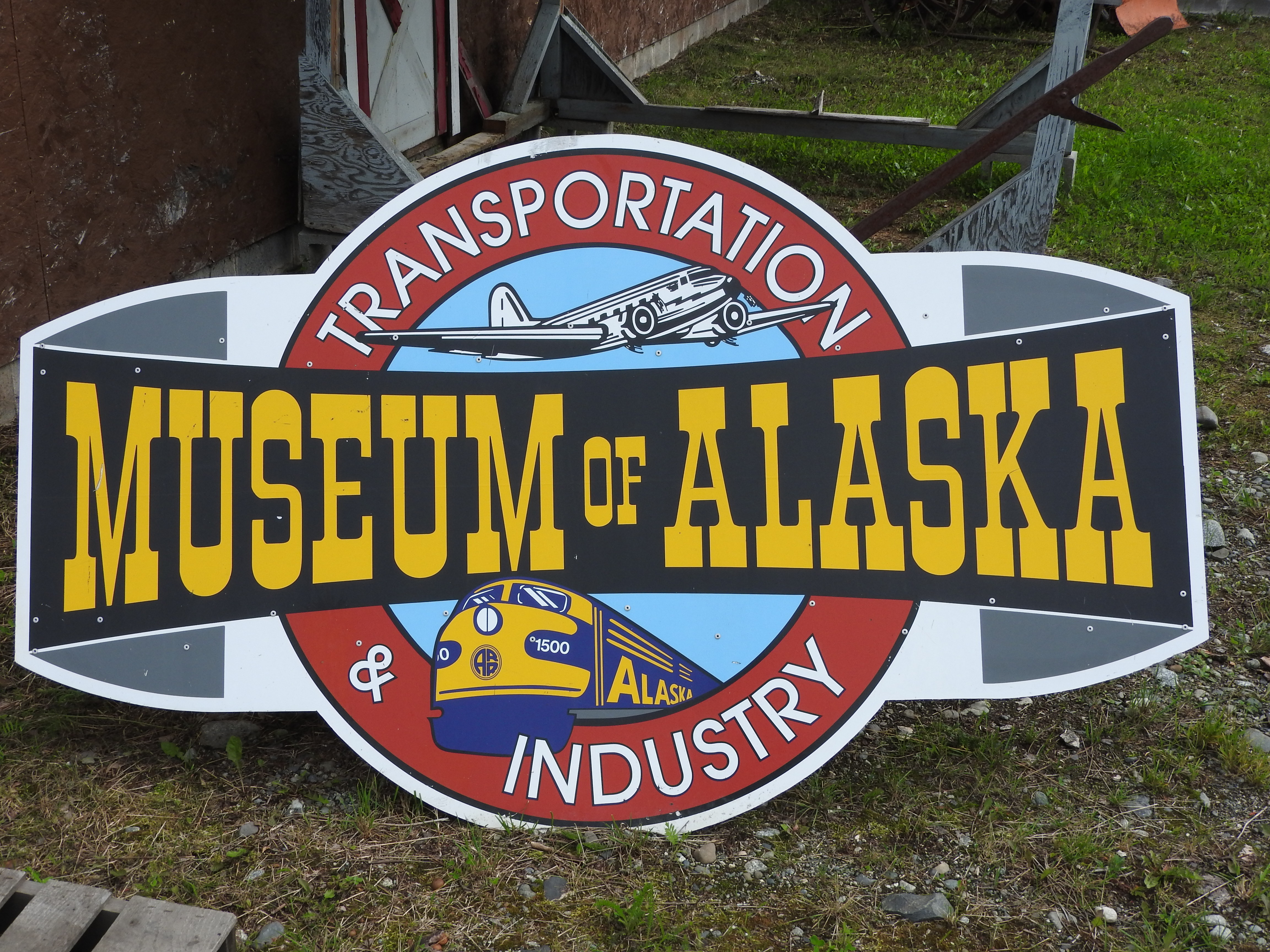
Of course, the Alaska Railroad has to make an appearance. This locomotive was the first model purchased by the ARR when they moved from steam engines to diesel. Cute window characters.


And this old Nash looks like it just drove off the movie set from CARS.

Susan finally wrangled me away from all the cars and trucks so we could get on the road to Wrangell-St. Elias. But we did make a stop at the Dairy Queen in Wasilla for lunch! Mint Oreo Blizzard!
As we drove east on the Glenn Highway from Palmer to Glennallen, the awesome Chugach Mountains appeared on our right. There were several great turnouts where was could see glaciers carving out of the mountains. We didn't know we'd see these again...this time from the air...tomorrow.

These glaciers feed the Matanuska River, which creates another valley with the Susitna River. Therefore these 2 huge valleys are called the Mat-Su valley. This area of Alaska was part of a social experiment by the federal government during the Great Depression. Farmers from the Midwest (principally Minnesota, Wisconsin, and Michigan since they were already accustomed to cold weather) were resettled to the Mat-Su valley. (If you're interested in more information about this resettlement program and Alaska, click this link and start reading on page 13.) About 200 families came to the Mat-Su Colony as part of the New Deal resettlement, but some started returning home almost immediately because the farming in Alaska was so much harder. Of that original group, about 20 are still in the Mat-Su Valley. The city of Palmer is in the heart of the valley, and we're going to the State Fair there in a couple of weeks. Because of the extended periods of sunlight during the spring and summer, crops grow to huge sizes. Can't wait to see those! In the meantime, we hit the road and got some great views of the Chugach.


River of ice. Sun shining bright on this glacier.


Once airborne, the ruggedness of the Chugach Mountains was overwhelming.


One of the most interesting things I learned was the term jokuhlaup (yo-KOOL-laup), It is an Icelandic term for a glacial lake (i.e., full of water) dammed up by the ice that suddenly drained, leaving behind huge blocks of glacial ice. This NPS link is a great explanation of jokuhlaup, and this is what it looks like. Our pilot estimated that ice face at 150' on the right side to 300' on the left. HUGE!


The Chugach Mountains are 250 miles long, 60 miles wide and the high point is Mount Marcus Baker at 13,176'. Basically they range from Anchorage to Valdez across southern Alaska. Like so much in this amazing state, they are immense!


Comments
Post a Comment